Where to look
Regions of New Hampshire
These six parts of the state are how people sort New Hampshire when they start looking for a town. Read a card, then open the map.
-
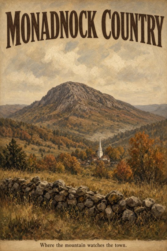
Where the mountain watches the town. Mount Monadnock sits over the southwest towns, and most of them stay small, with Keene as the city. If you want that mountain in view, pick a town on the map.
-
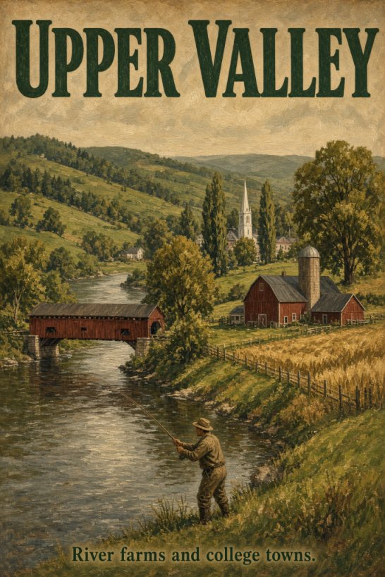
River farms and college towns. Farms line the Connecticut River here, with Dartmouth in Hanover and the big hospital in Lebanon. If a college town on a river is what you want, pick a town on the map.
-
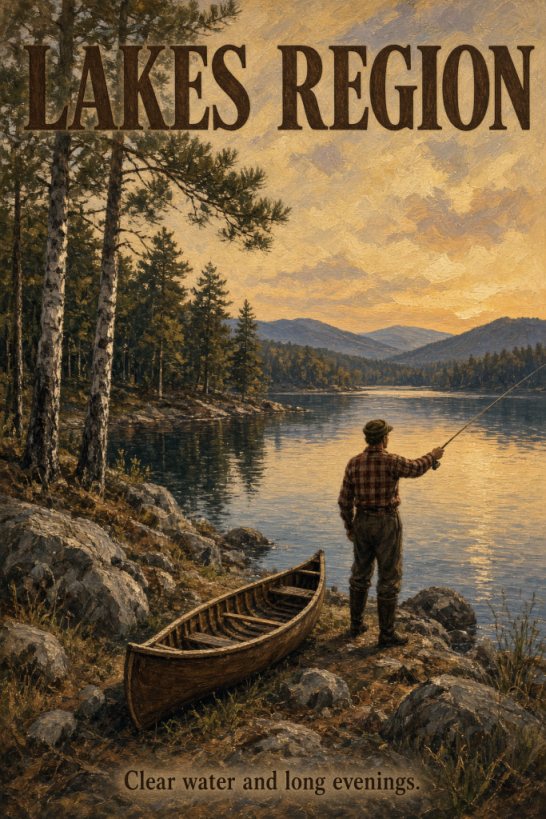
Clear water and long evenings. People look here for Winnipesaukee and the smaller lakes around it. Summers are busy on the water, so pick a town on the map and check what a full year costs once the boats are gone.
-
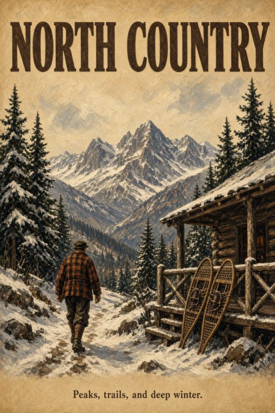
Peaks, trails, and deep winter. This is the White Mountains and the towns north of them, with a long winter and trails that are a real part of daily life. Jobs are thinner than they are down in the Merrimack Valley, so pick a town on the map and check the drive to a grocery and a hospital.
-
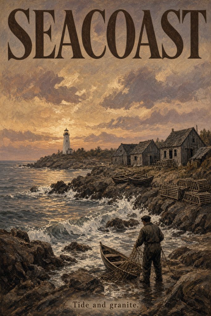
Tide and granite. Portsmouth, the beaches, and the towns between them sit on a short granite coast, and houses cost more here than in most of the state. If you want the ocean, pick a town on the map.
-
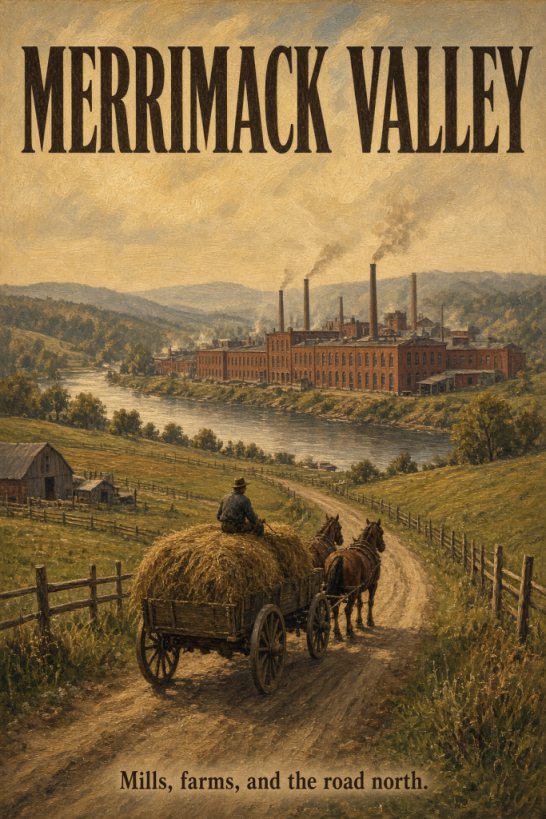
Mills, farms, and the road north. Manchester, Nashua, and the towns along the river are where most of the jobs are. You can live in a smaller town off that road and still get to work, so if you are moving for a job, pick a town on the map.


Original art made for this site.